
It is very helpful to use Google Maps to plan a trip. You enter your destination(s) and route options will be selected for you. If there are bus transfers and/or walking involved, they will be detailed under each option.
If your trip will begin from your current location:
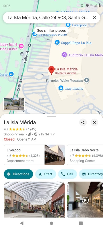
In the Search box on your Google Maps app, type your destination. (Try La Isla Mérida.) Select from the drop-down choices and click on Directions.
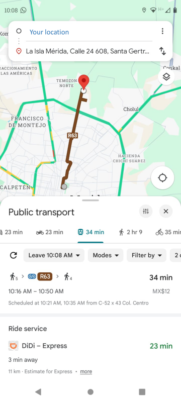
Select the bus icon under “Public transport” and view your route option(s) listed below.
If your trip will not begin from your current location:
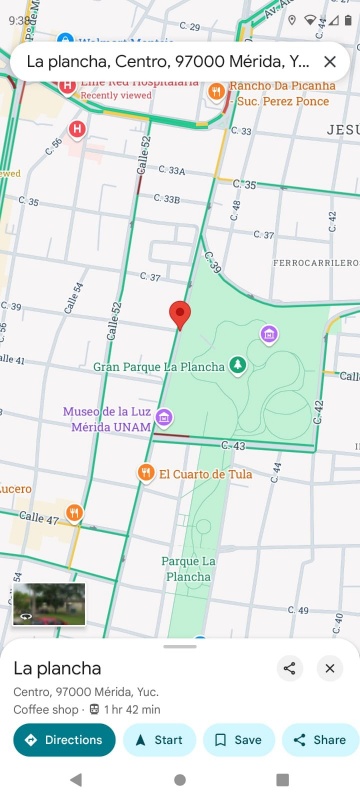
Click on the location where you plan to begin your trip. A pin will appear. Click on Directions.
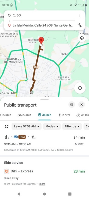
To set up your trip in the box at the top of the screen, type your destination on the “Your location” line. Click on the double arrows so that you are traveling in the correct direction. Select the bus icon under “Public transport”. Your route option(s) will appear below.
While riding the bus…
If you don’t know your bus route well, it’s good to keep your route map open on Google Maps while you’re riding. It helps to know when you’re getting close to your stop. You can do this with the Va y Ven app as well, but it can be a bit sluggish sometimes updating the locations of you and your bus.